Have your say: council consults on updated flood risk strategy for Brighton and Hove
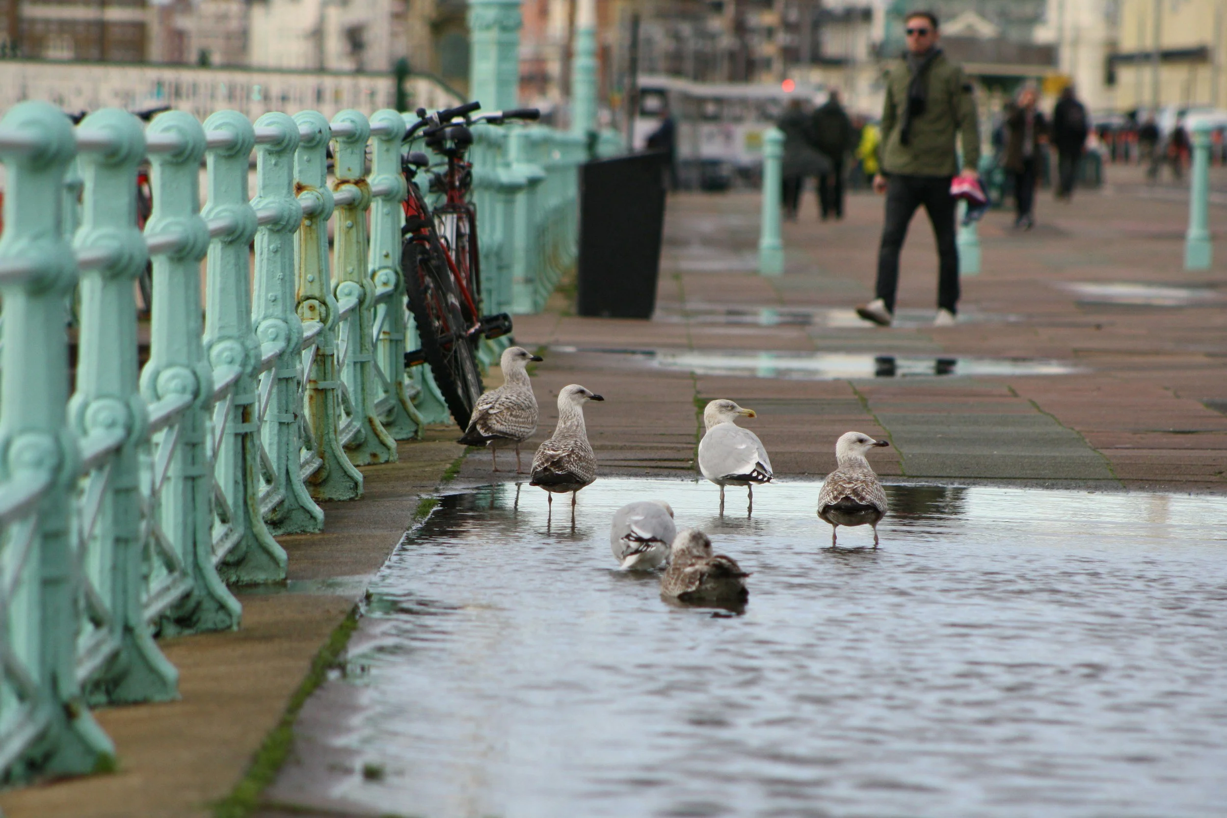
Standing water on Brighton's seafront promenade, the kind of surface water flooding the council's updated strategy aims to reduce
Brighton & Hove City Council is asking residents, businesses and community groups to help shape how the city manages flooding for the next decade, as it opens consultation on an updated Local Flood Risk Management Strategy.
The draft strategy updates the version first adopted in January 2016, bringing it in line with new and upcoming legislation and the latest understanding of how climate change is reshaping flood risk. As a Lead Local Flood Authority under the Flood and Water Management Act 2010, the council has a statutory duty to develop, maintain and monitor a strategy covering every source of flooding except the sea, main rivers and reservoirs, which remain the Environment Agency's responsibility.
Why the city is exposed
More than 46,000 people in Brighton & Hove live in areas that could be affected by surface water flooding, the most significant local flood risk the city faces. Sitting on the South Downs, the city's chalk geology also leaves parts of it, including areas around Patcham, vulnerable to groundwater flooding, alongside localised risks from sewers and the coast.
This summer's heatwaves and drought conditions have underlined the need to plan for more frequent extreme weather, the council says, with intense rainfall events increasingly following dry spells. Surface water is unpredictable and, unlike coastal or river flooding, cannot be directly forecast, meaning the strategy leans heavily on prevention and resident preparedness rather than warning systems alone.
"A key ambition is for Brighton & Hove to become a 'sponge city', using green spaces, rain gardens, sustainable drainage systems and the city's chalk aquifer to absorb and slow the flow of rainwater. By working with nature and taking a holistic approach to manage water, we can help reduce flood risk, tackle persistent problems and support wildlife to make the city more resilient to climate change."
— Councillor Trevor Muten, Cabinet member for Transport and City Infrastructure
What the strategy proposes
The updated strategy sets out a holistic, community-led approach, recognising that tackling flood risk in one street or catchment can shift the problem downstream if it isn't planned as part of the wider picture. Proposed actions include:
- Improving and regularly maintaining drainage systems
- Building or upgrading flood protection schemes
- Requiring new developments to include sustainable drainage systems (SuDS)
- Creating nature-based solutions such as ponds, rain gardens and tree planting to absorb rainwater
- Supporting communities to become better prepared for flooding
- Working with the Environment Agency, Southern Water, developers and community groups
The strategy sits alongside the city's Surface Water Management Plan, which identifies the catchments at highest risk, and follows a 2018 Strategic Flood Risk Assessment that recommended flood risk assessments be required for developments regardless of size where groundwater risk is identified.
How to have your say
The consultation runs on the council's Your Voice platform and closes on Wednesday 30 September. Residents can read a summary of the key points and take the survey directly, or download the full draft strategy to review in detail.
Feedback gathered during the consultation will directly inform the final version of the strategy before it goes to adoption, shaping future investment, partnership working and funding bids to make the city more resilient to flooding.
The strategy is one part of a wider push to protect Brighton & Hove's coastline and drainage network. On Hove seafront, a separate scheme has been extending the beach and installing new timber groynes to reduce flood and erosion risk, while further along the front, work to restore the historic cast iron seafront railings continues as part of the council's broader seafront maintenance programme.