Heavy showers hit Brighton and Hove as dry spell breaks
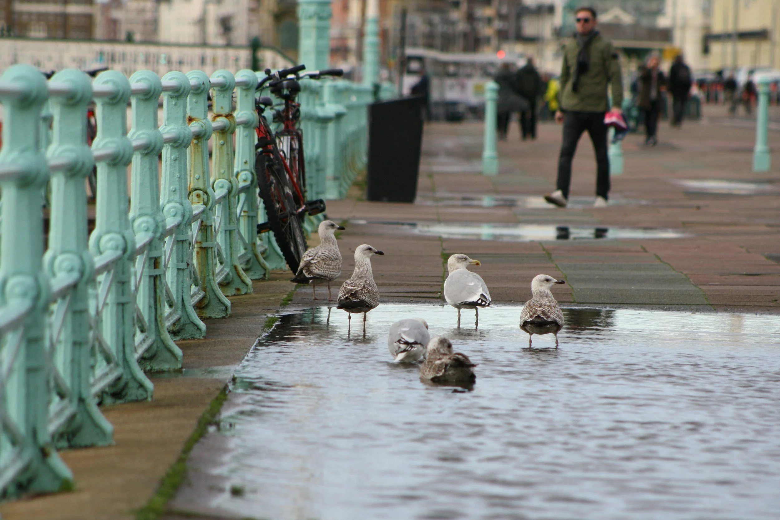
Surface water on Brighton's seafront, the kind of flooding risk the Met Office is warning of today
Heavy showers have swept across Brighton and Hove today, with the Met Office warning some could turn thundery, following weeks of dry conditions across the South East.
The Met Office's regional forecast for London and the South East describes blustery showers moving in along the south coast before spreading across the region through the day, with some heavy showers carrying a risk of hail and thunder. Temperatures are expected to stay near the seasonal average, with any sunny spells feeling warm.
Because the rain follows an extended dry spell, ground and drains are less able to absorb sudden downpours quickly, which raises the risk of surface water building up on roads and low-lying areas. Surface water flooding of this kind is different from river or coastal flooding and doesn't trigger an Environment Agency flood warning, so residents seeing localised flooding on their street are advised to contact the council rather than check for a formal warning.
What to do if you see flooding
Surface water is unpredictable and cannot be directly forecast in the way river or coastal flooding can, which is part of why the council's own flood risk management strategy, currently out for public consultation, treats it as the city's most significant local flood risk. More than 46,000 residents live in areas that could be affected by surface water flooding.
To report flooding directly to the council, call 01273 29 29 29. If the flooding appears to be coming from a sewer, or there are visible signs of sewage, contact Southern Water instead.
Drivers are advised not to attempt to drive through standing water, as depth can be difficult to judge and even a small amount can cause a vehicle to lose control or stall.