
Brighton and Hove Council Clears 600 Drains Ahead of Autumn Storms as Flood Strategy Consultation Nears Close
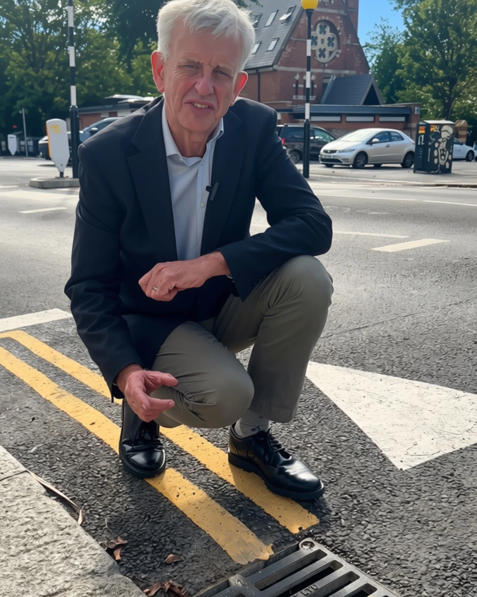
Cllr Trevor Muten, Cabinet member for Transport and City Infrastructure, at a Brighton roadside drain
Brighton and Hove City Council is stepping up its defences against flooding this autumn and winter, with contractors now working through almost 600 drains and gullies across 237 roads in flood risk areas of the city. The programme runs alongside a public consultation on a new long-term Local Flood Risk Management Strategy, which closes at midnight on Saturday 26 September 2026.
Cllr Trevor Muten, Cabinet member for Transport and City Infrastructure, said:
"As we've seen this summer, we are having to do more to adapt the impacts of climate change. With more severe weather events and storms predicted, it's important we're proactive in trying to prevent surface water flooding and protect those vulnerable homes and businesses across the city. By targeting high risk areas, we're ensuring drains and gullies are clear and working effectively before the bad weather hits. Our new storm response cleaning programme will also mean we're ready to act when heavy rain's being forecast."
On top of the regular maintenance programme, the work focuses on cleaning and jetting drains and gullies, identifying defects and investigating blockages. Drains blocked by parked vehicles will be assessed where possible and revisited at the next available date. A storm response cleaning programme will also target critical locations whenever weather warnings or named storms are forecast.
How Brighton and Hove Floods: The Full Picture
Surface water is the most common cause of flooding in the city. When heavy rain falls faster than it can drain into sewers or soak into the ground, water pools and runs along the steep slopes and valley roads that are common across Brighton and Hove. Key roads at particular risk include Lewes Road, Falmer Road and London/Preston Road, which run along the bottom of valleys where surface water accumulates.
Groundwater is the second major risk. Brighton and Hove sits on a chalk aquifer capable of absorbing large amounts of water, but after prolonged or intense rainfall the water table can rise to the point where it seeps into basements, damages below-ground infrastructure and overwhelms drainage systems. In coastal areas, high sea levels can push seawater into the aquifer and worsen the problem. The areas most at risk are Aldrington, Falmer and Patcham. In Patcham, groundwater flooding is a semi-regular occurrence, with particularly serious events in the winters of 2000/2001 and 2013/2014. Patcham, Portslade, Bevendean, Coldean and areas around Preston Park were all affected in that second episode.
Sewer flooding is also a known issue, historically most prevalent around Preston Park, Market Street, Hollingbury and Hangleton. Many of the city's sewers are older and were designed with less capacity than current standards require, and further development upstream adds pressure. Although Brighton and Hove has no rivers or large reservoirs, tidal flooding poses a risk to small areas at Brighton Marina and Shoreham Port. Brighton Marina currently has protection up to a 1 in 200-year storm, but that does not account for future climate change scenarios. In the winter of 2013/2014, tidal flooding hit Shoreham Port, Western Esplanade in Hove and the lower promenade in Brighton.
WHAT IS AT RISK FROM SURFACE WATER FLOODING IN BRIGHTON AND HOVE
46,293
people living in flood risk areas
2,571
non-residential properties at risk
107
listed buildings in flood risk areas
9.2km
of A roads at risk including the A23 and A27
8km
of railway in flood risk areas
Source: Adur and Ouse Flood Risk Management Plan, Cycle 2
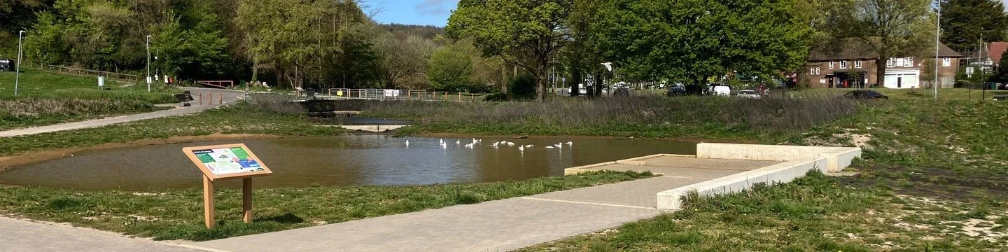
A pond and drainage area in Brighton and Hove, pictured on the council's flood risk consultation page
What Climate Change Means for Brighton
The city faces a growing challenge. Current projections show winters becoming warmer and wetter, and while summers are expected to be drier overall, the rainfall that does occur in summer will be more intense. That means the ground is more likely to become saturated and drainage more likely to be overwhelmed, increasing the frequency of surface water, groundwater and sewer flooding.
Flood events are predicted to increase in magnitude by between 20% and 45% by 2070. Rising sea levels combined with increasing storm frequency will also reduce the effectiveness of existing coastal defences, which will need upgrading if they are to continue offering protection from a 200-year storm. The city's beach, its first line of defence against coastal flooding, is currently eroding, and more intense storms will accelerate that process.
Brighton and Hove is hemmed in by the sea and the South Downs National Park, meaning population growth of around 23,300 is projected by 2030. Without careful management, that growth will bring more hard surfaces, less green space and a higher risk of flooding across the city. Southern Water's stormwater storage tunnel, which runs along the seafront from the bottom of Hove Street to Black Rock, can hold up to 132,000 litres of water during storm events before treatment.
The New Strategy: Six Themes, Seven Objectives
The draft Local Flood Risk Management Strategy sets out how the council will approach flood risk between now and 2031/2032. It replaces a strategy last adopted in January 2016 and is built around six strategic themes and seven core objectives.
6 STRATEGIC THEMES
Resilience
Investing in Property Flood Resilience measures and community awareness so people and places can prepare, respond and recover from flooding
Climate change responsiveness
Using adaptive pathways to plan for a range of future environmental, social and economic scenarios as flood risk increases
Nature-based solutions
Sustainable urban drainage, woodland planting, new ponds and streams for water attenuation across the city and Downland Estate
Sustainable development
Ensuring new developments on brownfield sites improve flood risk and drainage compared to what was there before
Partnership and collaboration
Working with the Environment Agency, Southern Water, South Downs National Park, The Aquifer Project and National Highways, plus community Flood Action Groups
Flood defences and assets
Maintaining the council's asset register, from earthworks around the edge of the city and the dew pond at Millcroft off Mill Road, to sea walls, revetments and groynes along the seafront
7 OBJECTIVES OF THE NEW STRATEGY
1. Work collaboratively with partners, stakeholders and local communities to understand and manage flood risk
2. Continue to improve the knowledge and evidence base for local flood risk
3. Implement sustainable measures to reduce flood risk and promote water quality, biodiversity and amenity
4. Manage the impact of new development on flood risk
5. Raise public awareness and resilience to flooding
6. Strengthen the council's ability as Lead Local Flood Authority to manage flooding
7. Reduce flood risk through asset maintenance and good land management practices
What the Council Has Already Done
Since the previous flood strategy was adopted in 2016, the council has completed a new Strategic Flood Risk Assessment, installed Property Flood Resilience measures in Patcham, central Hove, Portslade and the Carden Avenue area, and piloted a sustainable drainage scheme on Carden Avenue. The council declared a climate and biodiversity emergency in December 2018 with a pledge to become carbon neutral by 2030, and has produced a Supplementary Planning Document on Sustainable Drainage. Since 2015, the council has also been a statutory consultee on major planning applications, advising on surface water drainage.
Have Your Say Before Saturday Night
The consultation closes at midnight on Saturday 26 September 2026, so there are only days left to take part. You can read a summary of the strategy or download the full draft document below, then share your views directly with the council. The strategy will be fully reviewed in 2031/2032, with the action plan reviewed annually in the meantime.
Take the SurveyDownload the documents
Local Flood Risk Management Strategy V1.3 Consultation Draft (2.0 MB PDF) Local Flood Risk Management Strategy Summary (185 KB PDF)More from ImJustBrighton
→ City Plan Scoping Consultation: Have Your Say → Brighton Wheel Returns to Madeira Drive in 2027 After 10 Years Away